Geologic maps in augmented reality
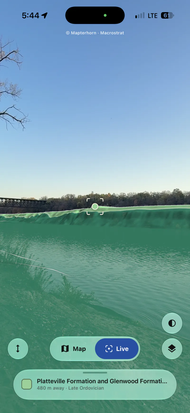
Hold your phone up to a canyon wall, a road cut or a distant ridge, and Outcrop draws the geologic map over the landscape. It names the rock in the center of the screen and labels nearby peaks and lakes.
 Outcrop
Point your camera at the landscape around you to learn about its geology: what the rocks are, when and how they formed, and where the continents were at the time. It also works offline.
Free, for iPhone and Android. Geologic maps worldwide from Macrostrat.
See where each rock fits in Earth’s 4.5-billion-year history.
Hover over or tap the timeline to see periods and events.
Hold your phone up to a canyon wall, a road cut or a distant ridge, and Outcrop draws the geologic map over the landscape. It names the rock in the center of the screen and labels nearby peaks and lakes.
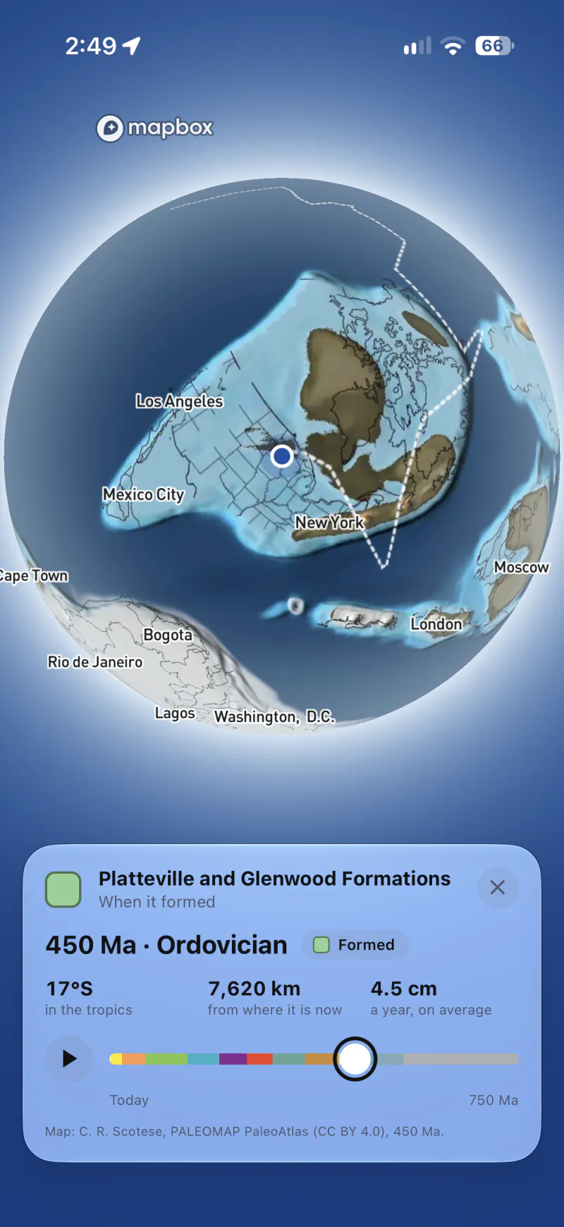
See the globe as it looked when a rock formed, as far back as 1.8 billion years ago. Back to 540 million years ago the maps are Christopher Scotese’s PALEOMAP maps, and before that they are maps we drew in his style. Outcrop shows where the rock was then, how far it has moved and how fast. Press play to watch plate tectonics carry it to where it is today.
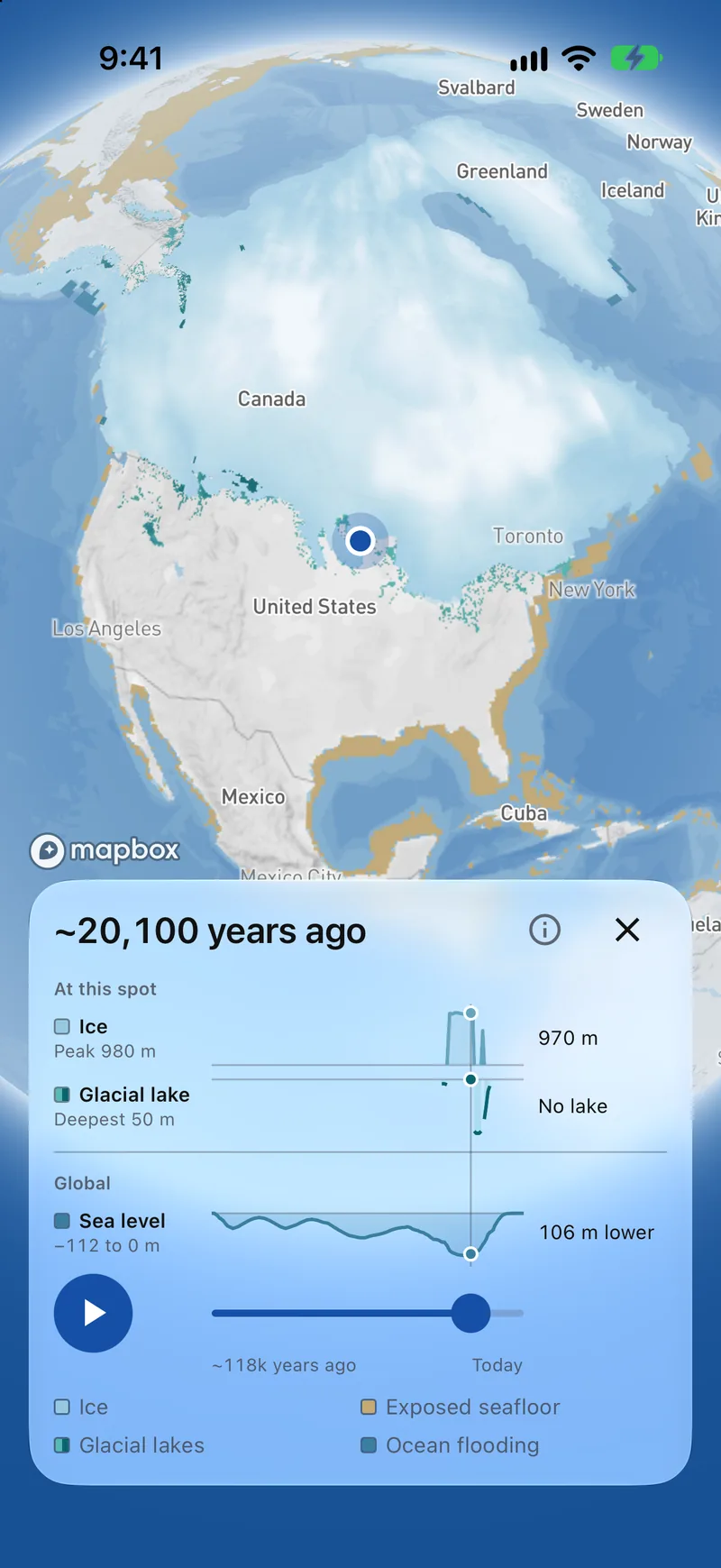
Watch the ice sheets grow and melt through the last ice age. See how thick the ice was at any spot, and whether a mountain glacier reached it or a glacial lake covered it.
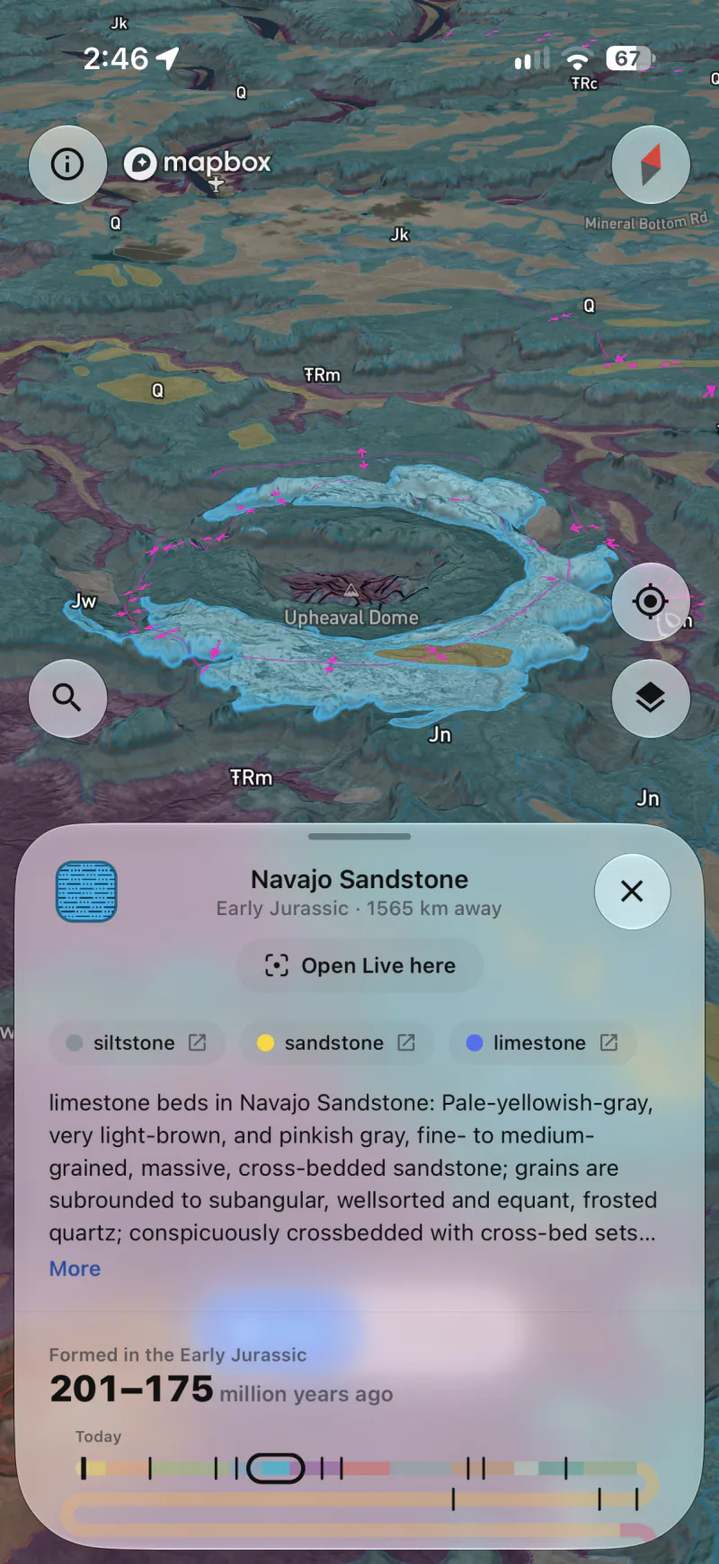
Outcrop opens to the rock you’re standing on, with its name, its age, what it’s made of and how it formed.
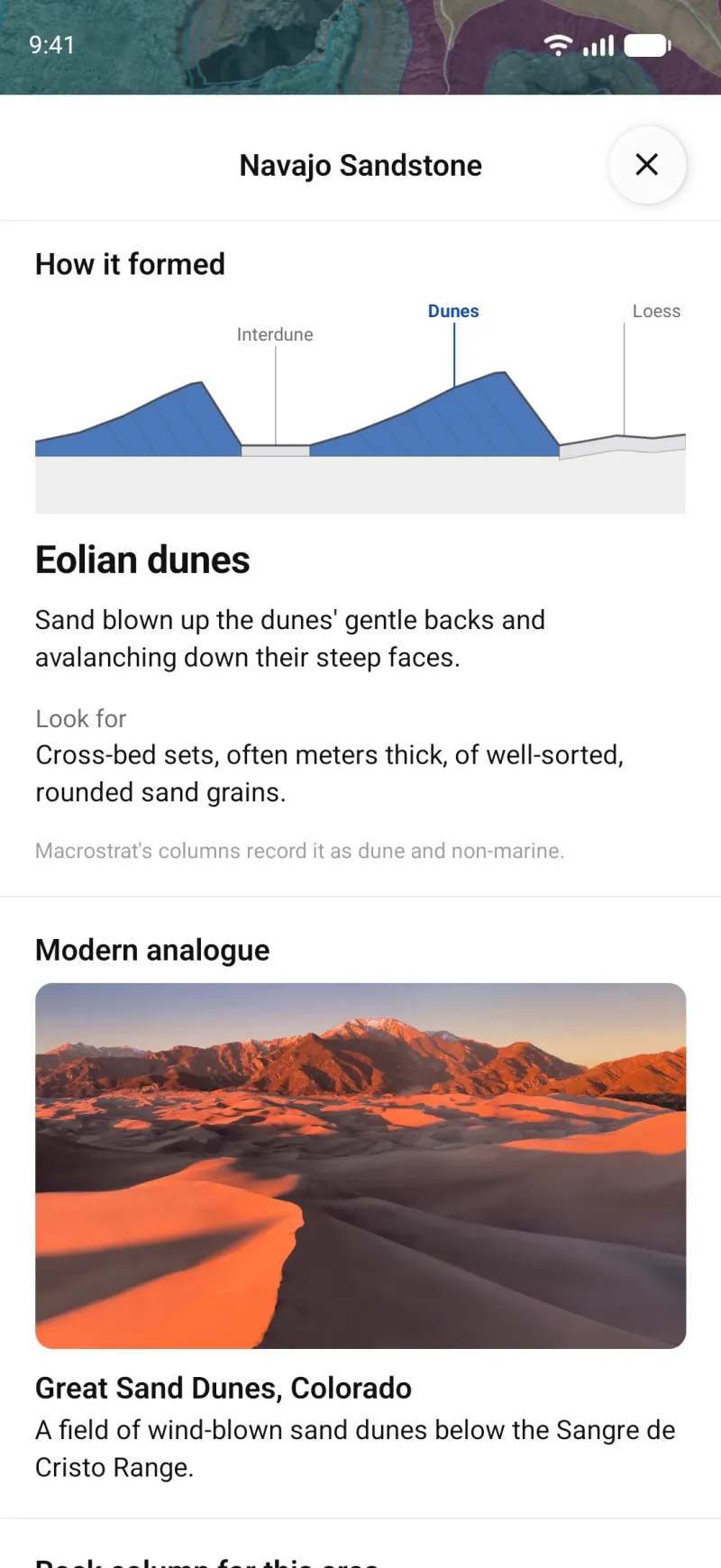
See the setting a rock formed in, from desert dunes to the deep sea floor, and what to look for in the rock. A photo shows the same kind of setting today.
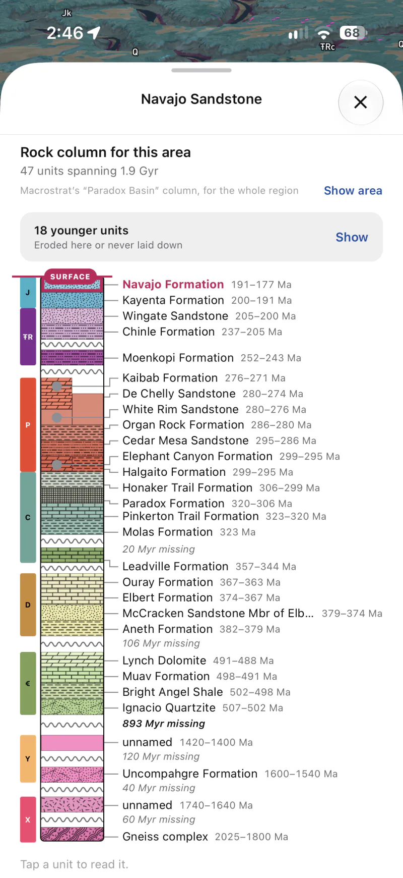
Where Macrostrat has a stratigraphic column for the area, you can see the layers beneath you from the surface down, with each layer’s age and the fossils found in it, and the gaps in the record.
Search for a rock type, an age, a named unit or a fault. Outcrop highlights matching places on the map and tells you how far away the nearest one is, even if it’s off screen.
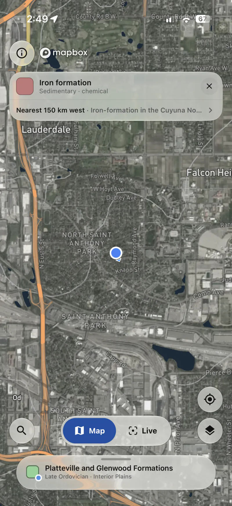
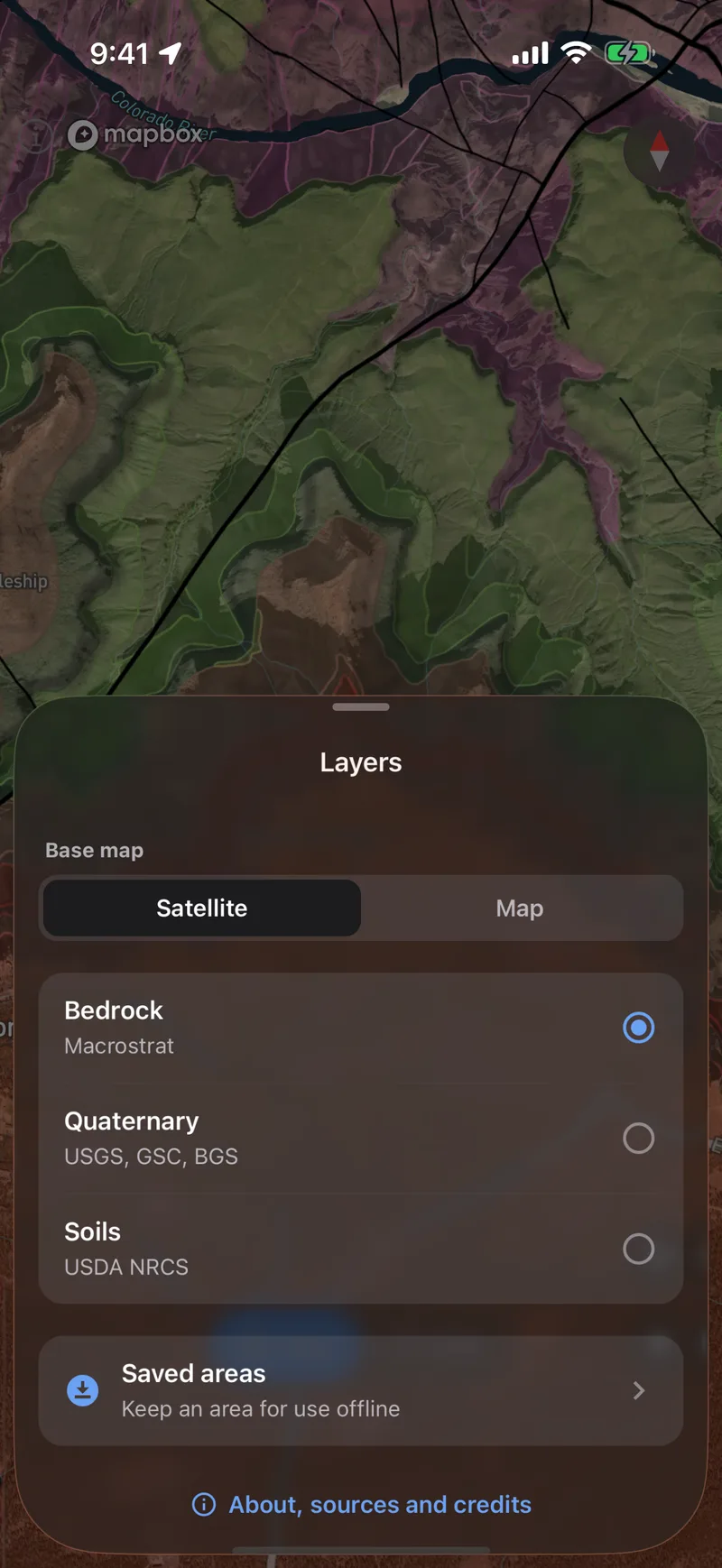
Bedrock and faults come from Macrostrat’s geologic maps, which are more detailed in some places than others. Switch to Quaternary geology to see glacial and river deposits and recently active faults, or to Soils to see the soil and the plants that grow in it. All three layers work on the map and in the camera view.
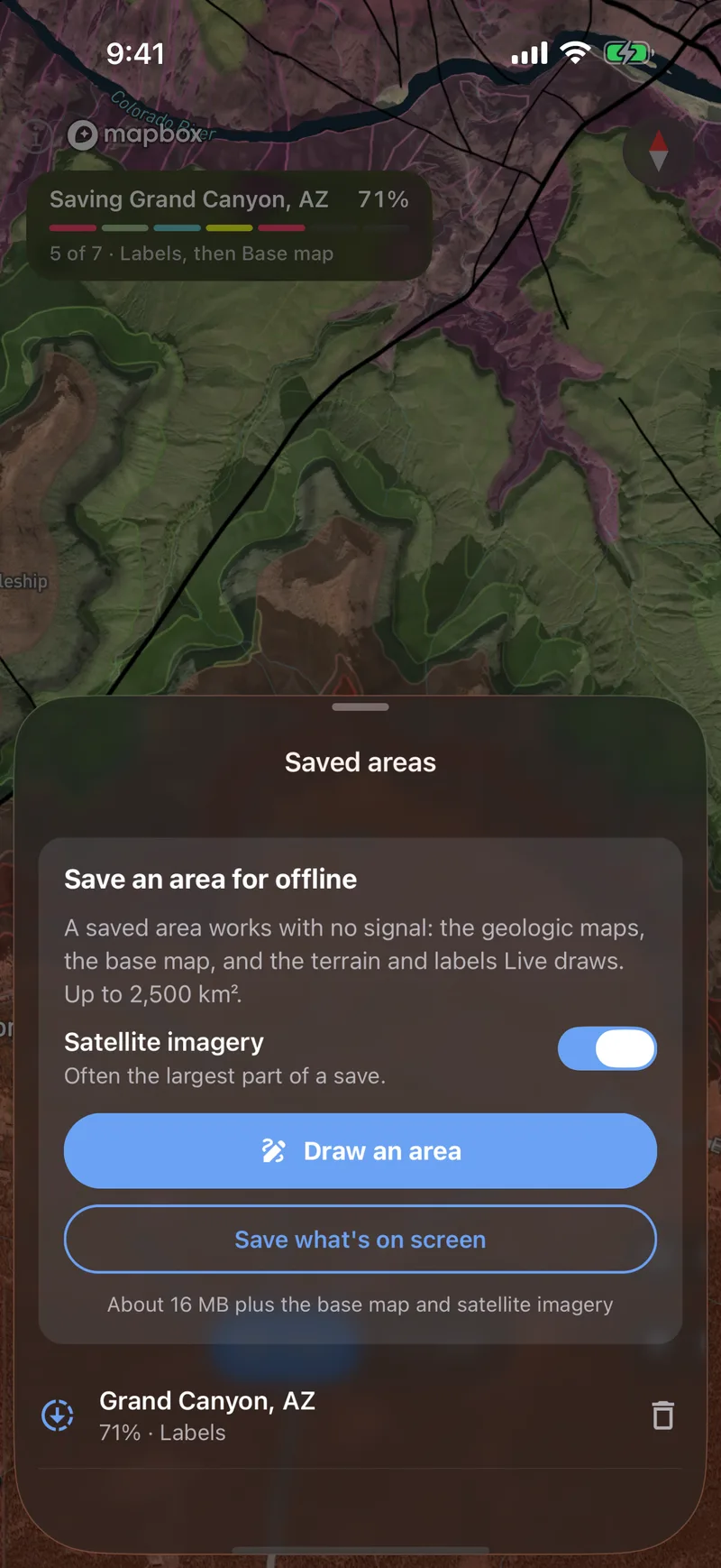
Outline an area to download it to your phone, and the map and camera view will work without a signal. Fossil records and active faults in the camera view still need a connection.
Free on the App Store and Google Play.